
Anders Andersson
9 Verum - Vittsjö
- Length
- 12 km
- Degree of difficulty
- Blue
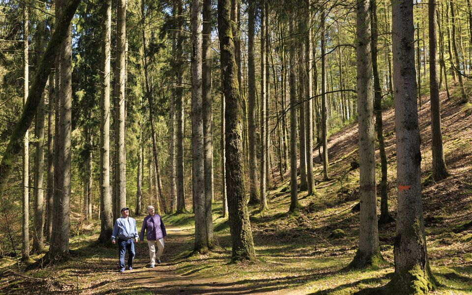
On this route, forest is interspersed with pastures and streams. You walk on paths along the water and on small roads. On the route, you pass peaked pebble ridges, a mill and a saw. There are fishing and kayaking opportunities here if you wanted to explore the area further.
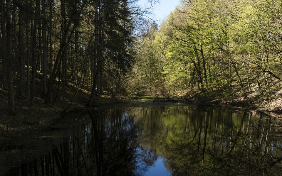
Vieån, which runs parallel to the trail, is naturally crooked with nice beach meadows and tree curtains. At Mölleröd, there are rapids, waterfalls and a bunch of parallel pebble ridges. The river is important for fish, mussels, birds and around it there are exciting plants.
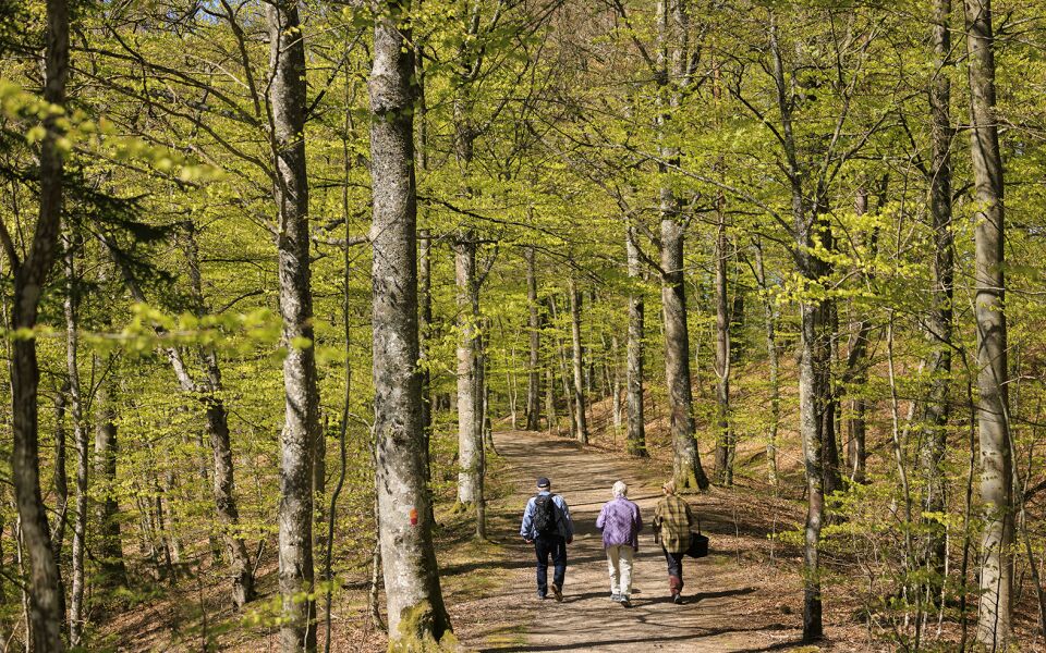
Soon you leave the valley and the view, on paths that lead you through varying forests to Vittsjö lake system. The path winds between the lakes, up on dry ridges and on the wetland near the water. At Gundrastorp, the journey goes through pastures and along a crooked road through ancient antiquities. A path leads you over Ubbalt's cool pebble ridges, through beech forest and along the shores of Vittsjön. At the bottom of the lake, lots of iron ore is deposited and you can dig out lumps from the sand.
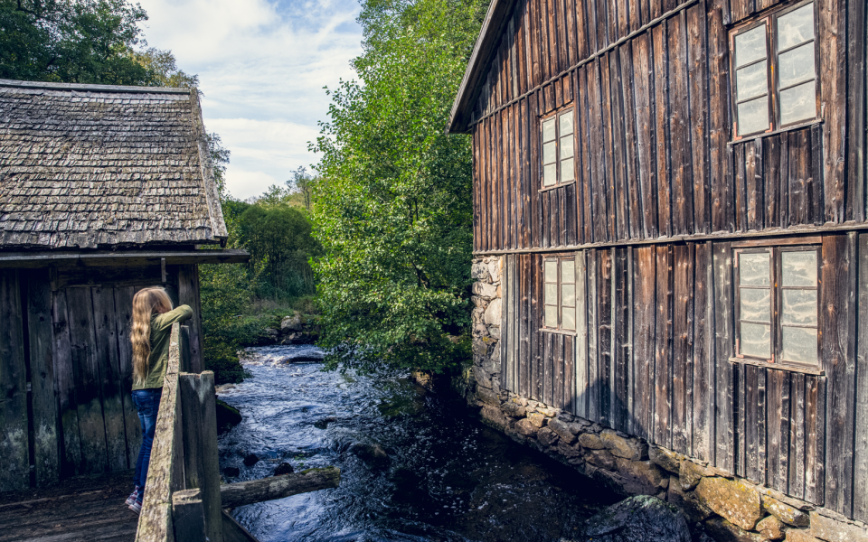
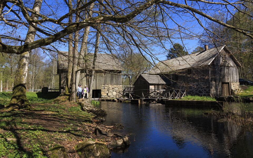
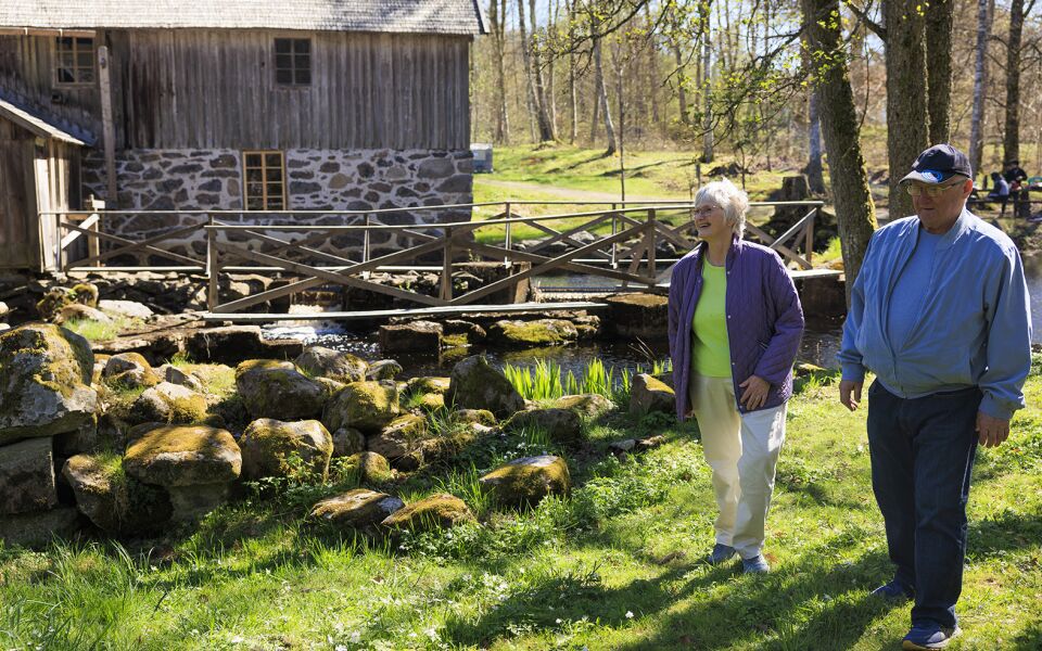
The occasionally flooded meadows of the Vieån have been used for mowing and grazing for a long time. The power of the water has also been utilized and at the inlet of the river there are well-preserved gems, Ekholmen's sawmill and Gundrastorp's flour mill.
Traces of medieval iron production have been found in Ubbalt. Iron ore was scraped from the seabed and melted in kilns. The lumps were transported along lakes and rivers. The iron was valuable and as protection, castles such as Vittsjöborg and Skeingeborg were built.
Vittsjö was a health resort with a guest house and rest home during the late 19th century. Previously, this was the borderland between Denmark and Sweden. Vittsjö's fortress and memorial stones tell of wartime and when King Gustav II Adolf walked through the ice.
12 km
Degree of difficulty
About Difficulty Grading
The grading is tailored for Swedish lowland trails that adhere to the quality criteria established by the national framework for hiking trails.
Even and firm ground: The terrain is generally flat. The hike requires no need to use your hands for support. No obstacles. Bridges are always present when crossing waterways.
Uneven and/or soft ground: Some changes in elevation. Certain sections may require hand support to maintain balance. There may be obstacles such as low stiles and short stairs. Minor obstacles like stones and roots. Boardwalks are present.
Loose or slippery ground combined with steep sections: Technical parts require hand support. There may be obstacles such as high stiles and longer stairs. Frequent sections with stones and/or roots. Boardwalks with deeper surrounding water.
Note: One or more of these features may be present along the trail section.
Blue
3-4 timmar
- Skog
- Sjö
- 7-15 km
- Medel
- Hund
- Skåneleden
Highlights along the section
Are you looking for a place to stay or a cozy cafe during your hike? Here are some of the sights and places to visit along the section.
Hiking suggestions
Do you find it difficult to know where to start your hike? Here is some inspiration and a selection of recommended hikes - short and long, with or without accommodation or based on different themes.
Show allNews
Here you will find information about what's new on the trail as well as current redirections and disturbances.
Continue on the trail
Share your moments
Share your adventures on the trail by tagging your photos with #skåneleden or #skaneleden.