
Mickael Tannus
16 Båstad - Hovs hallar
- Length
- 16 km
- Degree of difficulty
- Red
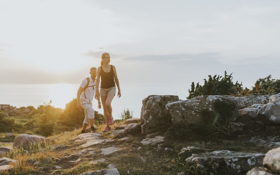
On this stage, you’ll walk along the green northern slopes of Hallandsåsen, where dramatic nature meets the charm of a small coastal town. The trail takes you through leafy woodlands, past striking geological formations, and into the historic heart of Båstad – a place rich in culture, gardens, and sweeping sea views.
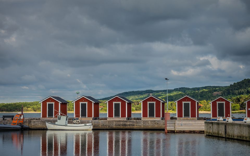
The stage begins at the Båstad campsite, close to the old railway station, and winds its way down towards Malen.
Båstad’s history stretches back to the Middle Ages, when the king built a harbour and church to access the ridge’s oak trees for shipbuilding. The town’s older quarters – such as Agardhsgatan, the square, and the harbour – are perfect for a break and a step back in time. Along the way, you’ll discover cultural landmarks like the Galta stones, tennis history featuring legends such as Borg and Wilander, and handicraft traditions from Märta Måås-Fjetterström’s famous weaving to classic Swedish clogs.
Follow the seafront promenade and keep an eye out for harbour seals basking on the coastal rocks. When the trail turns inland, you’ll pass the winding Stensån river and Norrviken Gardens – a blooming gem with plants from around the world. Nearby, the curving “Italian Road” offers views reminiscent of the Mediterranean.
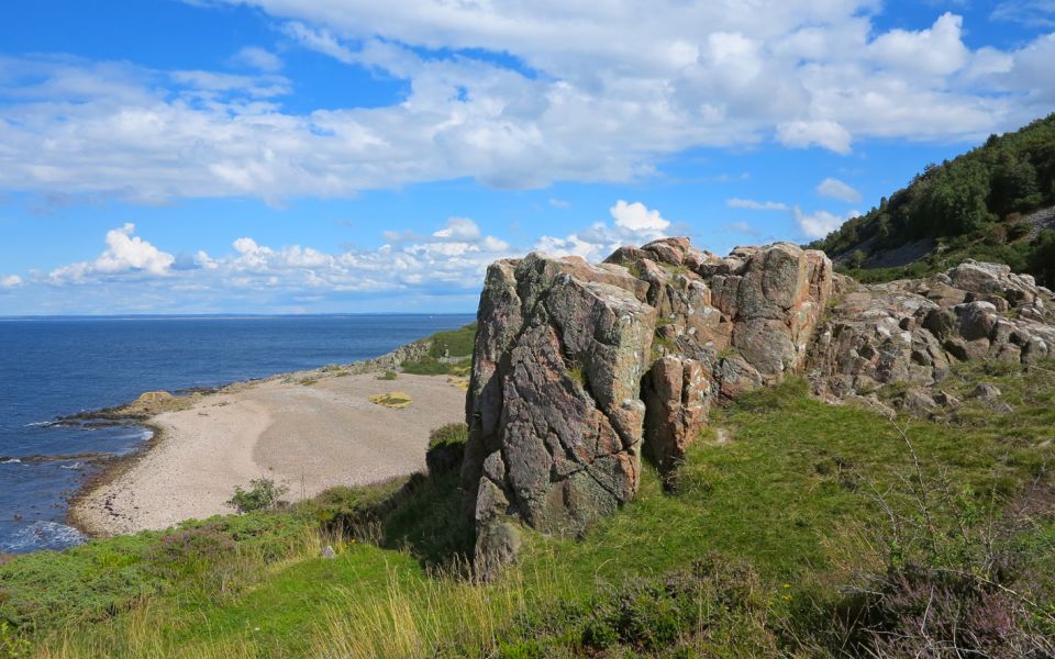
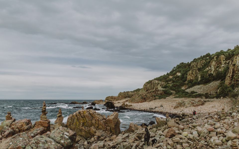
Soon you’ll leave the asphalt and head upward on a winding, sometimes steep path. The reward? Englandsdal Nature Reserve – a landscape of dramatic fault valleys, steep cliffs rising up to 30 metres, and grazing animals. A babbling stream has carved a deep cleft through the rock.
Before you go, make sure to check the nature reserve’s rules – this landscape is as sensitive as it is spectacular.
16 km
Degree of difficulty
About Difficulty Grading
The grading is tailored for Swedish lowland trails that adhere to the quality criteria established by the national framework for hiking trails.
Even and firm ground: The terrain is generally flat. The hike requires no need to use your hands for support. No obstacles. Bridges are always present when crossing waterways.
Uneven and/or soft ground: Some changes in elevation. Certain sections may require hand support to maintain balance. There may be obstacles such as low stiles and short stairs. Minor obstacles like stones and roots. Boardwalks are present.
Loose or slippery ground combined with steep sections: Technical parts require hand support. There may be obstacles such as high stiles and longer stairs. Frequent sections with stones and/or roots. Boardwalks with deeper surrounding water.
Note: One or more of these features may be present along the trail section.
Red
4-5 timmar
- Kustnära
- Storslagna vyer
- 15-26 km
- Utmanande
- Skåneleden
Highlights along the section
Are you looking for a place to stay or a cozy cafe during your hike? Here are some of the sights and places to visit along the section.
Hiking suggestions
Do you find it difficult to know where to start your hike? Here is some inspiration and a selection of recommended hikes - short and long, with or without accommodation or based on different themes.
Show allNews
Here you will find information about what's new on the trail as well as current redirections and disturbances.
Continue on the trail
Share your moments
Share your adventures on the trail by tagging your photos with #skåneleden or #skaneleden.