
Torbjörn Lingöy
18 Torekov - Vejbystrand
- Length
- 20 km
- Degree of difficulty
- Blue
A stage along easily trampled paths and beach roads over fields. Discover a cosy fishing village, seals and a giant mound of earth. Do not miss Hallands Väderö.
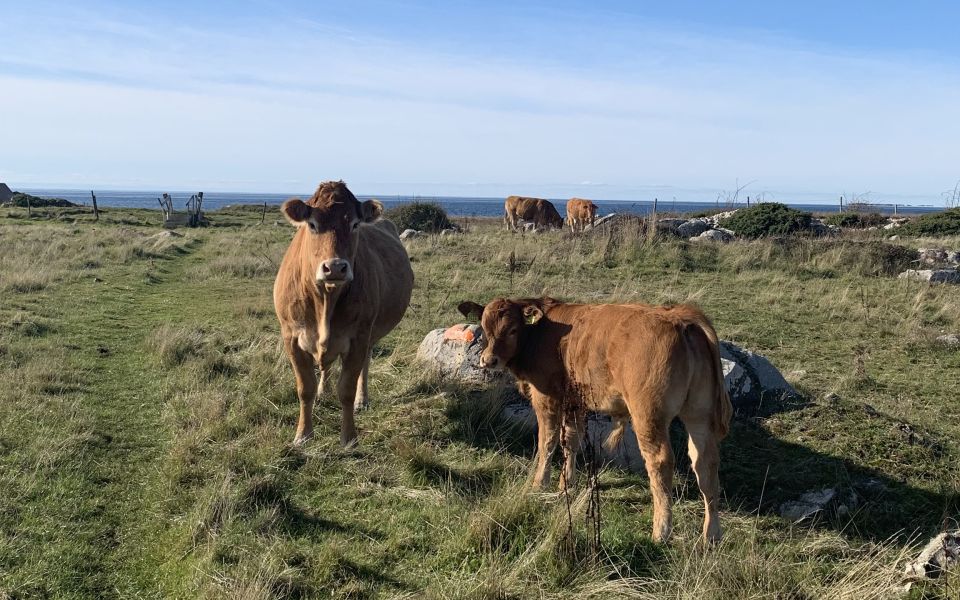
On beach roads you walk into the Torekov fishing village. In the centre you will find a small park with a crooked and rare tree, the vejksel. The species is related to rose plants. Torekov is synonymous with a genuine fishing environment and you walk past 19th century buildings and fishing huts. Here they lived on fishing and shipping, but agriculture and brick making were also important activities. The fields were the outfields of the villages with grazing for the animals. Seaweed was important as fertilizer for the fields
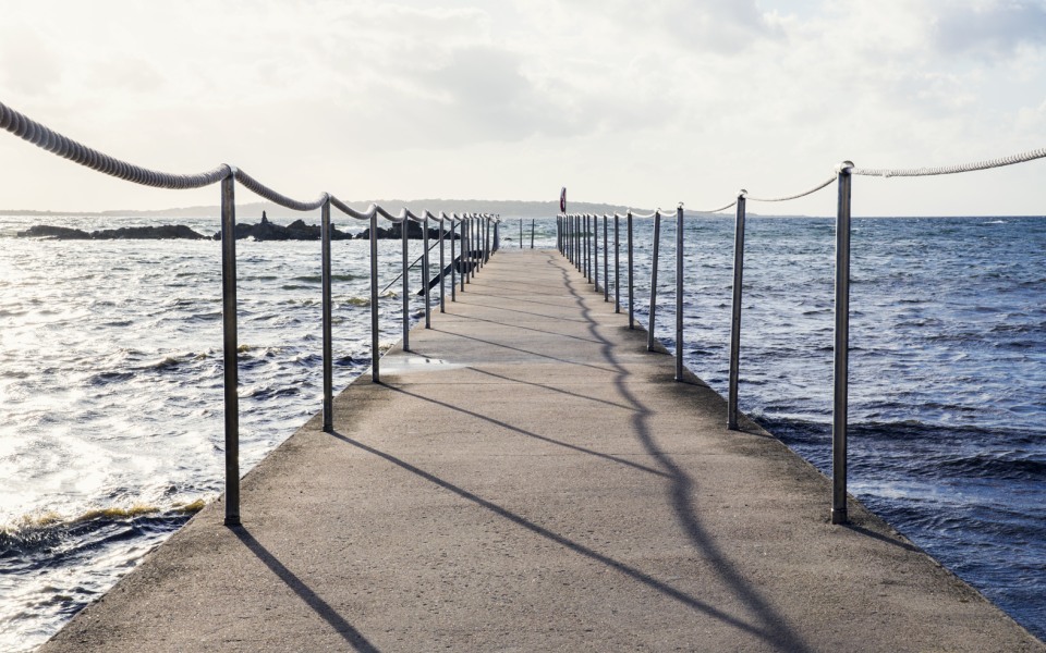
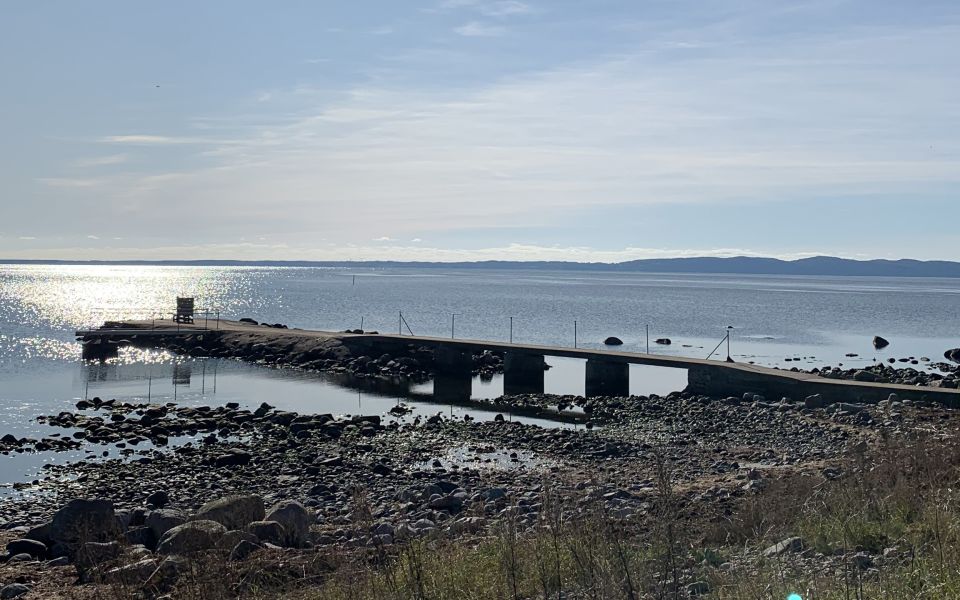
Just west of the harbour is a dark streak fused with the reddish mountain. It is magma that has pushed up and created a diabase passage. At the beach, you can attract crabs and from Torekov's harbour there are trips to scenic Hallands Väderö.
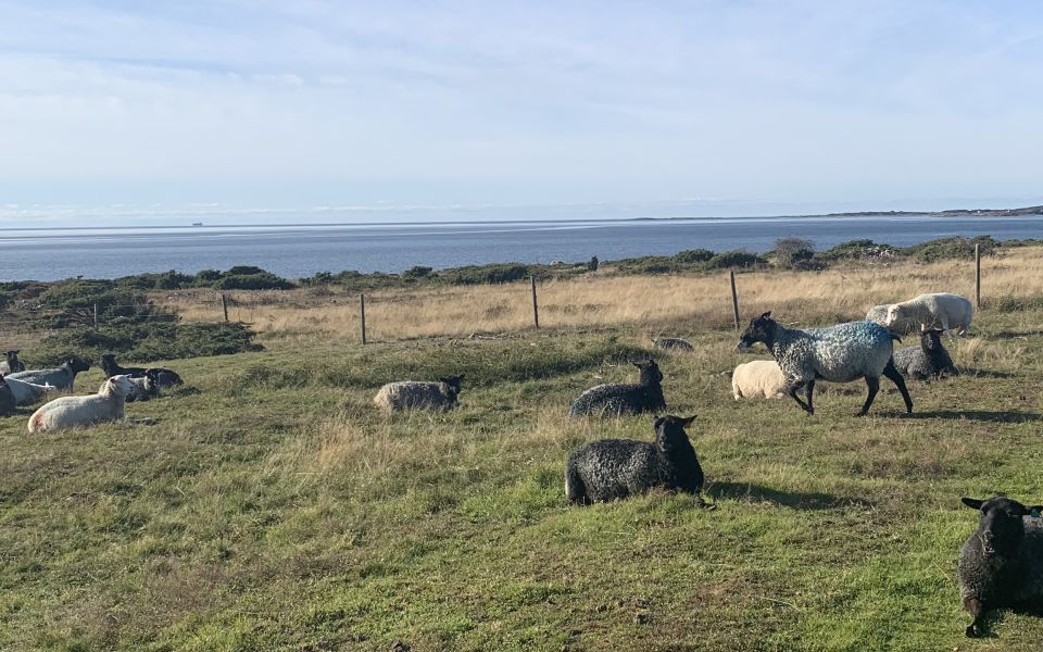
The hike south along the Bjärekusten passes over old pastures with elements of junipers where poor grassland is mixed with rich meadow land and wet puddles. In the sea outside, you can see both harbour seals, porpoises and sometimes grey seals. Here the bird life is rich with different ducks, seagulls and waders, sometimes Atlantic birds such as sole and three-toed gulls migrate here.
On the route, you walk past Dagshög, which is the largest burial mound with a diameter of 42 metres. There is also Dagshög's quarry, where between 1904 and 1914 stone was shipped from to Denmark.
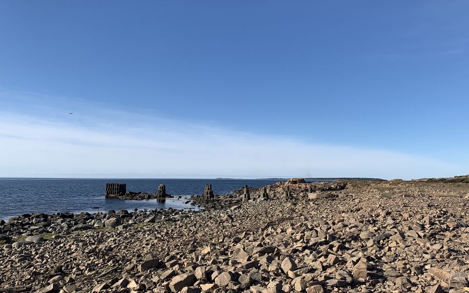
Today, there are no visible traces of one of Bjare's most important ports, Grytehamn. From here, large quantities of wood and timber were shipped to Copenhagen.
During the 19th century, Vejbystrand was a small fishing village in the northwestern part of Vejby. Today, you can enjoy long beaches and in the village centre there are grocery stores, restaurants and hotels. Here's also a bus stop.
20 km
Degree of difficulty
About Difficulty Grading
The grading is tailored for Swedish lowland trails that adhere to the quality criteria established by the national framework for hiking trails.
Even and firm ground: The terrain is generally flat. The hike requires no need to use your hands for support. No obstacles. Bridges are always present when crossing waterways.
Uneven and/or soft ground: Some changes in elevation. Certain sections may require hand support to maintain balance. There may be obstacles such as low stiles and short stairs. Minor obstacles like stones and roots. Boardwalks are present.
Loose or slippery ground combined with steep sections: Technical parts require hand support. There may be obstacles such as high stiles and longer stairs. Frequent sections with stones and/or roots. Boardwalks with deeper surrounding water.
Note: One or more of these features may be present along the trail section.
Blue
5-6 timmar
- Kustnära
- Storslagna vyer
- Stadsnära
- 15-26 km
- Medel
- Kollektivtrafik
- Skåneleden
Highlights along the section
Are you looking for a place to stay or a cozy cafe during your hike? Here are some of the sights and places to visit along the section.
Hiking suggestions
Do you find it difficult to know where to start your hike? Here is some inspiration and a selection of recommended hikes - short and long, with or without accommodation or based on different themes.
Show allNews
Here you will find information about what's new on the trail as well as current redirections and disturbances.
Continue on the trail
Share your moments
Share your adventures on the trail by tagging your photos with #skåneleden or #skaneleden.