
Lisa Wikstrand
11 Löddeköpinge - Bjärred
- Etappenlänge
- 8 km
- Schwierigkeit
- Grün
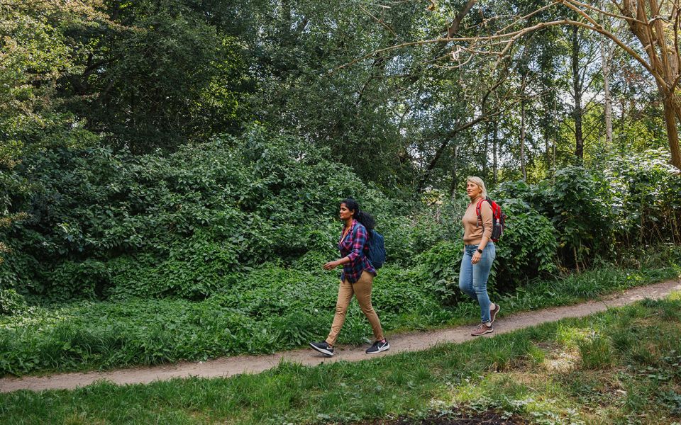
Leden går genom öppna landskap, lummiga naturreservat och längs med havet till Bjärreds långa brygga, ett populärt turistmål med anor från 1800-talet. Strax efter att du passerat Kävlingeån kan du göra en avstickare till Borgeby slott, leden går sedan genom Borgeby, längs havet och förbi de ståndsmässiga sommarvillorna i Bjärred.
Du passerar över Kävlingeån, som är ett av Skånes största vattendrag och hem till bland annat tjockskalig målarmussla, öring, lax, abborre, elritsa och grönling. Här vandrar du in i Lomma kommun och leden följer cykelvägen över åkermark med en vy över det öppna slättlandskapet åt båda hållen.
I anslutning till Borgeby kommer du in i Domedejla mosse, ett naturreservat med skogsmark, högörter, vattensamlingar och en slåtteräng. Den sydvästra delen av naturreservatet består av fuktig mark där man kan hitta typiska arter som bladvass och svärdslilja. På gränsen till väster växer forsythia vilket minner om en tid av gamla odlingar. Området har gott om fåglar med bland annat kärrsångare, rödhake, björktrast, kattuggla och ormvråk.
Det är väl värt att göra en avstickare till Borgeby slott, som under vikingatiden var en viktig knutpunkt för att kontrollera handel både på vatten och på land. Under 1000-talet fanns en så kallad trelleborg i trä på platsen för det nuvarande slottet. Nuförtiden strävar man mot att omvandla slottet till det kulturella centrum det en gång var. Här finns bland annat samlingar från den siste slottsherren, Ernst Norlinds konstnärskap och slottscafé. På sommaren finns möjlighet att hyra kanot eller fika i det vackra slottscaféet. Leden fortsätter över slätten till Borgeby, historiskt omtalat sedan medeltiden. Den gamla byn låg vid slottet och kyrkan, men vid det laga skiftet 1859-60 flyttades byn till sitt nuvarande läge vid västkustvägen.
Utanför Löddeåns mynning finns resterna av en vikingatida hamnanläggning, som vid lågvatten sticker upp ovan ytan som en rad stenar.
Stigen leder ut ur skogen och fortsätter mot havet med utsikt mot slätterna och havet. Vid havet är det en kort avstickare för att komma till Löddesnäs fågeltorn där man kan se brun kärrhök, skäggmes, sävsparv, beckasiner och om man har tur, en skymt av den skygga vattenrallen som springer runt i vassen.
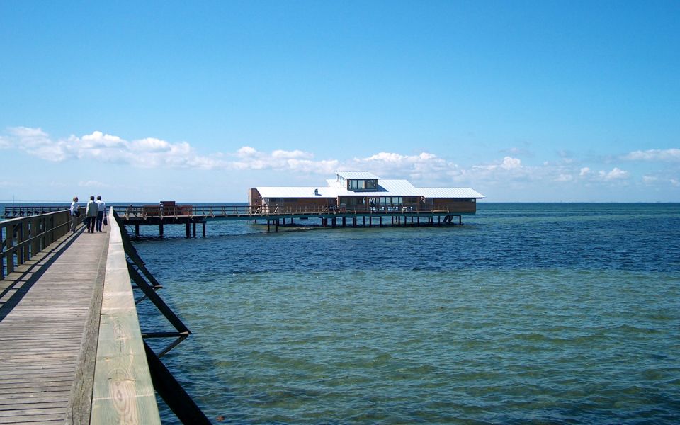
Den sista delen av etappen går förbi villor som vittnar om Bjärreds tid som sommarort för välbeställda lundabor. Bjärreds saltsjöbad var ett populärt utflyktsmål kring förra sekelskiftet, med kallbadhus, tennisbanor, badhotell och restaurang. Det nuvarande kallbadhuset stod klart 2004, längst ut på den 574 meter långa träbryggan, som är Skånes längsta. Havet är långgrunt och rikt på ålgräsängar. Den gamla parken vid Bjärreds saltsjöbad är uppvuxen och har bokskogskaraktär, här finns bland annat flera fladdermusarter.
8 km
Schwierigkeit
Über die Schwierigkeitsbewertung
Die Einstufung ist an schwedische Flachlandwege angepasst, die den Qualitätskriterien des nationalen Rahmenwerks für Wanderwege entsprechen.
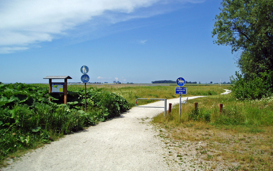
Gleichmäßiger und fester Untergrund: Das Gelände ist überwiegend flach. Die Wanderung erfordert keine Unterstützung mit den Händen. Keine Hindernisse. Brücken sind immer vorhanden, wenn Wasserläufe überquert werden müssen.
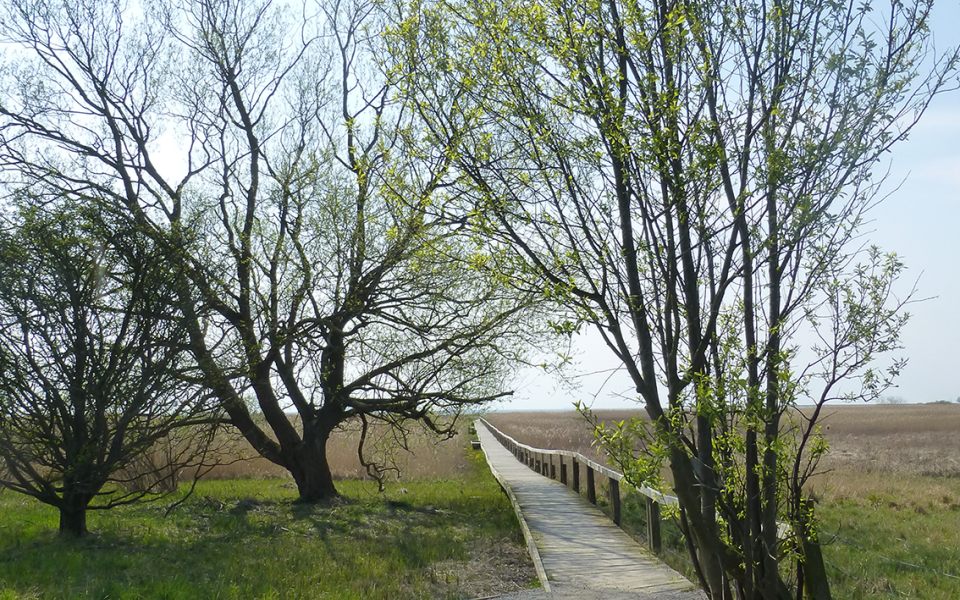
Unebenes und/oder weiches Gelände: Einige Höhenunterschiede. In bestimmten Abschnitten kann Unterstützung mit den Händen erforderlich sein, um das Gleichgewicht zu halten. Es kann Hindernisse wie niedrige Überstiege und kurze Treppen geben. Kleinere Hindernisse wie Steine und Wurzeln. Bohlenwege sind vorhanden.
Lockerer oder rutschiger Untergrund in Kombination mit steilen Abschnitten: Technische Teile erfordern Unterstützung mit den Händen. Es kann Hindernisse wie hohe Überstiege und längere Treppen geben. Häufige Abschnitte mit Steinen und/oder Wurzeln. Bohlenwege mit tieferem umliegenden Wasser.
Hinweis: Eines oder mehrere dieser Merkmale können entlang des Wegabschnitts auftreten.
Grün
2-3 timmar
- Kustnära
- 7-15 km
- Lätt
- Kollektivtrafik
- Skåneleden
Sehenswürdigkeiten entlang der Etappe
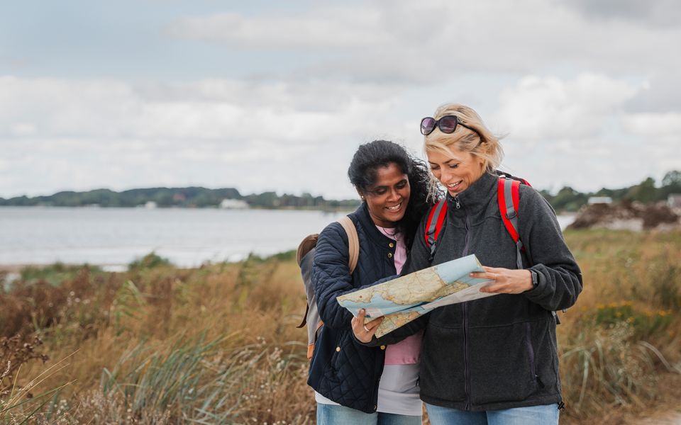
Suchen Sie für Ihre Wandertour nach einer Unterkunft oder einem gemütlichen Café? Hier finden Sie einige der Sehenswürdigkeiten und interessanten Plätze entlang der Etappe.
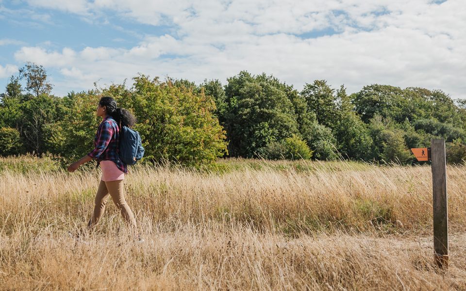
Wandervorschläge
Sie wissen nicht genau, wo Sie wandern möchten? Lassen Sie sich durch unsere Auswahl verschiedener Strecken inspirieren – es gibt kurze und lange, mit oder ohne Übernachtung sowie mit verschiedenen Themen.
Alle anzeigenAktuelles
Hier gibt es Neuigkeiten zum Radweg, sowie aktuelle Umleitungen oder Einschränkungen.
Weiter auf der Weg
Teile deine Momente
Teilen Sie Ihre Abenteuer von unterwegs mit anderen, indem Sie Ihre Photos mit #skåneleden oder #skaneleden taggen.