
Mickael Tannus
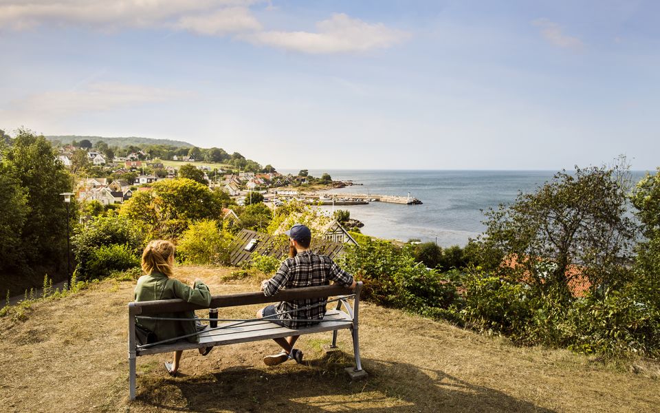
3 Arild - Mölle
- Length
- 16 km
- Degree of difficulty
- Red
Winding streets lead you through the well-known fishing villages, and trails pass through dramatic pastureland. To the west is Kullaberg with its caves, rauks, forests and views.
Nature
Along the coast, you can see the banks of the ancient Littoria Sea. These banks show were the shoreline was located, 4,000 to 7,000 years ago.
In the shadow of Kullaberg lies the fishing village of Arild with its winding streets and alleys. Here you can see berries and fruits like grapes, mulberries and figs, which you would not expect to see this far north. You can also find the yellow flowers of the Welsh poppy growing wild.
Trails will take you into the Kullaberg Nature Reserve. The geological history here is tumultuous. The gneiss is hardly recognizable, and magma has pushed and compressed other rocks several times.. Kullen’s own variety of rock, kullait, is a reddish variant of diabase that is so different from the rest, it has been given its own name. There are also cliffs that sparkle of felspar and quartz. The horst itself was created by two parallel faults, where the earth’s crust sank on either side.
Cultural History
Arild is a medieval fishing village with a holy spring and a fishermen’s chapel. The village was later discovered by artists and tourists. The neighbouring fishing village of Skäret is smaller and newer, but is just as attractive. Buy the vanilla heart pastries that are famous throughout Sweden, and date back to the grim days of the 1930s.
When you cross the barren pastureland of Nabben, it’s interested to contemplate that that most of Kullen looked this way about 200 years ago. At the cape, you’ll find the Nabba barrows, grave mounds from the Bronze Age. When you see genuine semi-timbered houses, cows grazing in the meadows and an outdoor café in the summer, you’ve come to Himmelstorpsgården, originally a farm that dates back to the 15th century, and like many other farms in the area, belonged to Lord of Krapperup Manor.
Adjacent, you can find a stone circle from the Iron Age, and just below the steep coastal cliffs, are the controversial artworks known as Nimis and Arx.
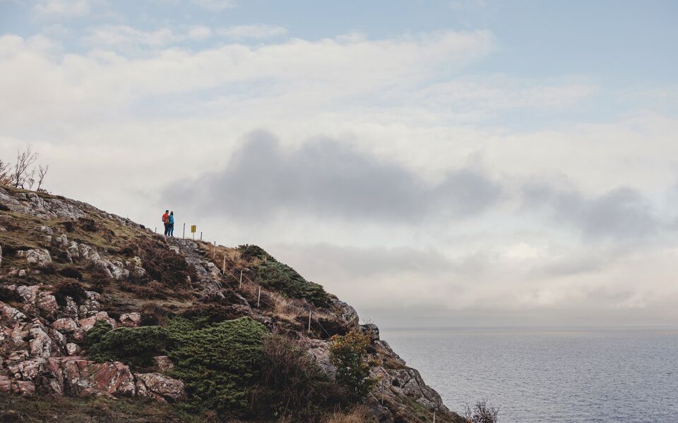
From the top of Mount Håkull, 187.5 metres above sea level, you can see for miles and miles
Continuing south, you’ll pass popular beaches, Ransvik and Mölle. In the 1890s, Mölle shocked the rest of Sweden with the introduction of the country’s first mixed bathing facility. This became incredibly popular, and the Möllebanan railway was built in 1910. Mölle has a mix of old boarding houses and summer homes. North of the harbour, you’ll find earthworks from the time of King Charles XII.
16 km
Degree of difficulty
About Difficulty Grading
The grading is tailored for Swedish lowland trails that adhere to the quality criteria established by the national framework for hiking trails.
Even and firm ground: The terrain is generally flat. The hike requires no need to use your hands for support. No obstacles. Bridges are always present when crossing waterways.
Uneven and/or soft ground: Some changes in elevation. Certain sections may require hand support to maintain balance. There may be obstacles such as low stiles and short stairs. Minor obstacles like stones and roots. Boardwalks are present.
Loose or slippery ground combined with steep sections: Technical parts require hand support. There may be obstacles such as high stiles and longer stairs. Frequent sections with stones and/or roots. Boardwalks with deeper surrounding water.
Note: One or more of these features may be present along the trail section.
Red
4-5 timmar
- Kustnära
- Böljande
- 15-26 km
- Utmanande
- Kollektivtrafik
- Skåneleden
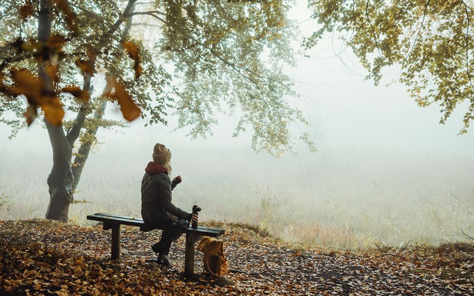
Highlights along the section
Are you looking for a place to stay or a cozy cafe during your hike? Here are some of the sights and places to visit along the section.
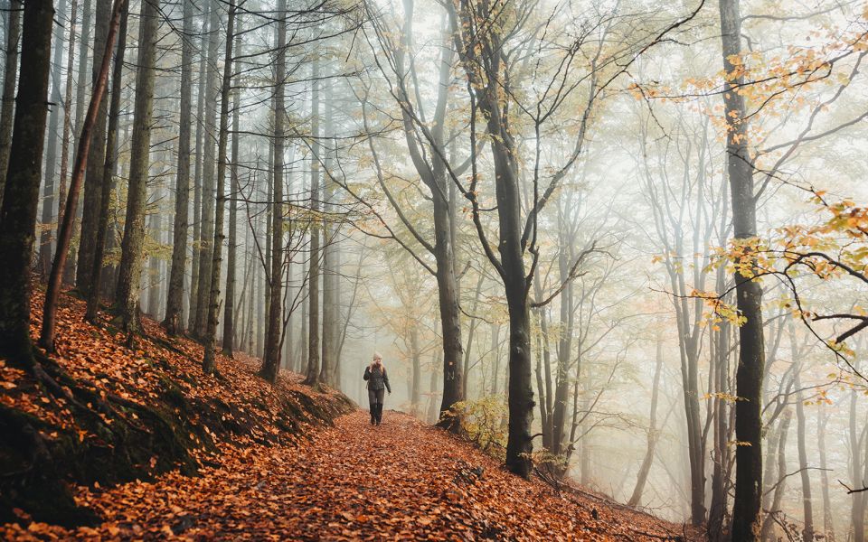
Hiking suggestions
Do you find it difficult to know where to start your hike? Here is some inspiration and a selection of recommended hikes - short and long, with or without accommodation or based on different themes.
Show allNews
Here you will find information about what's new on the trail as well as current redirections and disturbances.
Continue on the trail
Share your moments
Share your adventures on the trail by tagging your photos with #skåneleden or #skaneleden.