
Signage
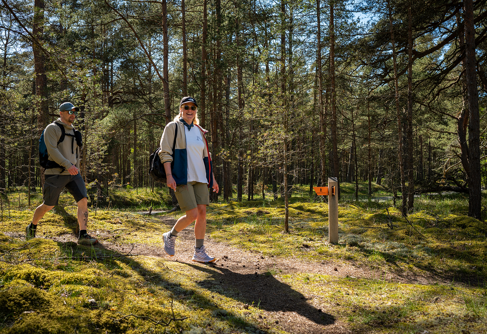
The Skåneleden Trail is more than 1,000 kilometres long and all sections have orange markers. These markers either take the form of a square, or orange plates fastened directly to a tree or painted. Inside protected nature reserves, there are also markers in the form of orange bands around tree trunks. The markers can usually be found on trees or posts.
The purpose of these trail markers is to let you know that you are on the right track. But watch for turns and forks along the trail. It’s easy to continue straight ahead if you are lost in thought or deep in a conversation with your hiking buddy. Markers in the form of arrows are there to let you know which direction you should take.
An orange marker with a cross on it means that you have somehow ended up on the wrong road. Turn back and watch for the trail markers that will point you in the right direction.
At selected locations, there are larger information boards with a map that shows where you are and how far it is to the next milestone. GPS coordinates for the sign’s position and important telephone numbers are also listed on these information boards. It’s a good idea to take a picture of the sign with your camera or smartphone in case you need to freshen your memory as you progress along the trail. These signs are often located at places where the trail is easily accessible and/or at starting points, for example, near train or bus stations and parking lots, but also at trail campsites.
Maps and GPS
The Skåneleden Trail is well-marked which makes it easy to navigate simply by following signs along the way. On the other hand, we recommend that you purchase a waterproof map of the trail so you can quickly and easily get an overview of the terrain and distances. On these waterproof maps, produced especially for Skåneleden Trail hikers, there are also symbols indicating water stations, toilets, wind shelters, and other useful information to help you along the way. You can also choose to navigate using GPS or the Skåneleden Trail app which has a map tool. Before heading out, always check the latest trail status of the section you plan to hike in case anything has been reported that could affect your experience.
If you are hiking for several days, it is often possible to charge your smartphone at a nearby café or hostel. If, however, you choose to hike along stretches of trail with a limited range of services, it’s a good idea to invest in an extra battery or a solar charger before heading out.
A guidebook can be a good companion on the trail, not just for practical guidance but also to enrich your experience as they contain information about the natural environment and cultural-historical descriptions and anecdotes.
If you have thoughts about the signs or trail markers, or about how the trail is maintained, please feel free to contact us at info@skaneleden.se