
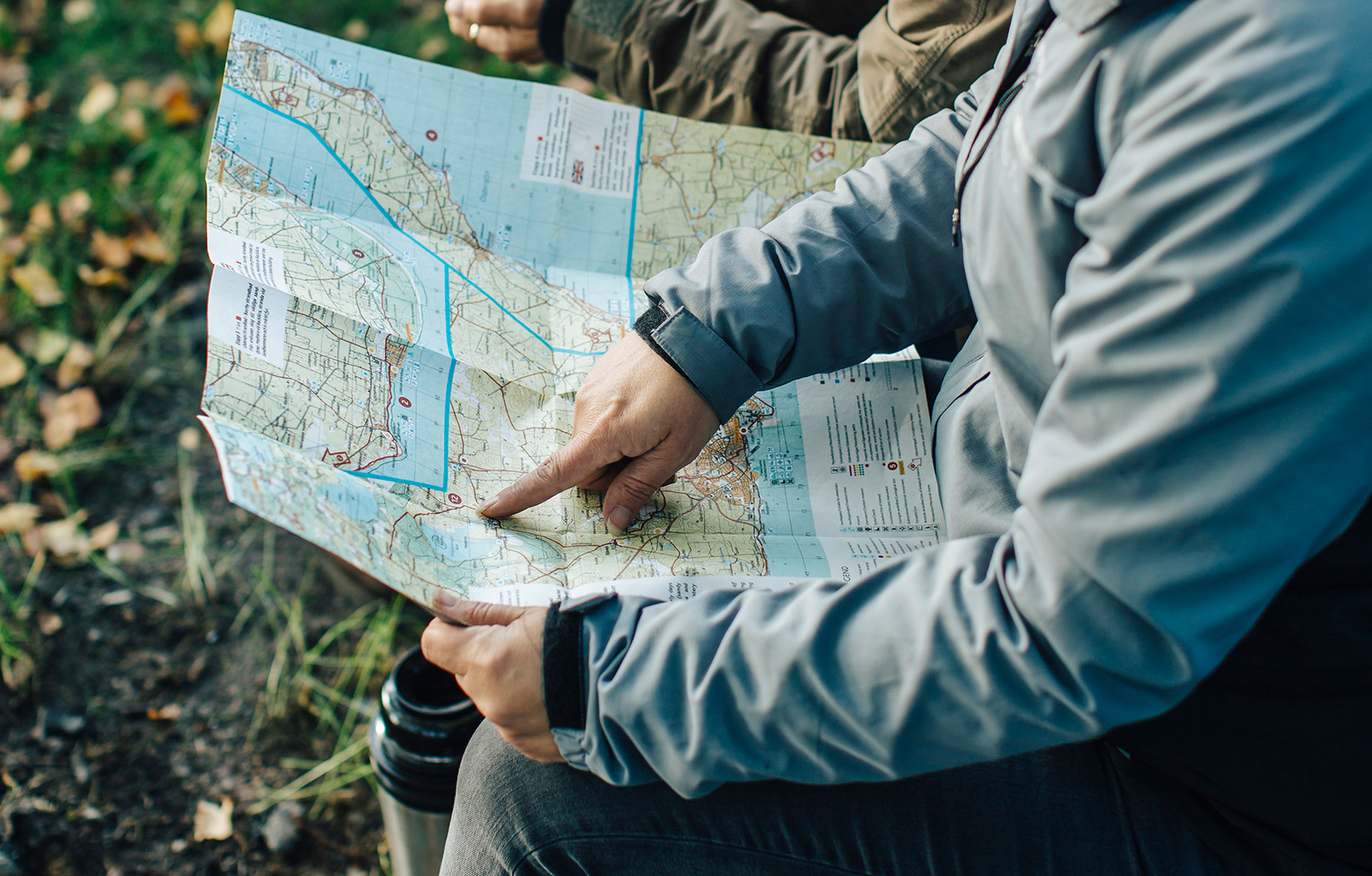
Skåneleden hiking trail is divided into 5 maps in order to give a detailed overview of the subtrails and sections. The maps are printed on waterproof paper in order to handle different weather conditions and wear and tear.
The legend in the maps come in three languages; Swedish, English and German and the hiking map consists of detailed information of the landscape and symbols describing what's on the trail in scale 1:50,000.
The maps are marked with accommodation, restaurants, attractions, wind shelters, restrooms, food and other things that may be useful for a hiker.
Order a paper map over Skåneleden's different subtrails here.
The maps are also sold at Tourist Offices and by well-stocked bookstores in Skåne.